Lost Pet Search
Drone-assisted searches for missing dogs, cats, livestock, exotics, and other animals in residential, rural, wooded, and agricultural areas.
REQUEST A SEARCH →When an animal disappears, every minute matters. We use aerial search and thermal imaging to cover difficult ground faster and help bring families closer to answers.
WHAT WE DO
North Florida can mean thick timber, fields, swamps, fence lines, and miles of rural property. A drone gives us a view ground teams simply can’t get.
Drone-assisted searches for missing dogs, cats, livestock, exotics, and other animals in residential, rural, wooded, and agricultural areas.
REQUEST A SEARCH →Thermal capability helps identify heat signatures when normal visual search becomes difficult in low light or challenging terrain.
Aerial coverage for farms, hunting property, large acreage, fence lines, fields, woods, and other hard-to-search areas.
Location support for injured, displaced, or difficult-to-find animals when ground searching alone isn’t enough.
Professional aerial photography and video for properties, land, businesses, events, farms, and other projects that benefit from a view from above.
ASK ABOUT PHOTOGRAPHY →Aerial visual inspection support for roofs, structures, acreage, fence lines, and other difficult-to-access areas without putting people where they don’t need to be.
ASK ABOUT INSPECTIONS →THE MISSION
No two searches are the same. We use the last known location, terrain, weather, animal behavior, airspace, recent sightings, and available access to build a deliberate search plan for every call.
Email Search DetailsSend a recent photo, last known location, time last seen, and any direction of travel or sightings.
We plan around terrain, weather, airspace, access, obstacles, animal behavior, and the most productive time to search.
We systematically cover likely routes, hiding places, open areas, woods edges, and other priority zones.
If we locate a likely match, we provide the location and help coordinate the next move from the ground.
SERVICE AREA
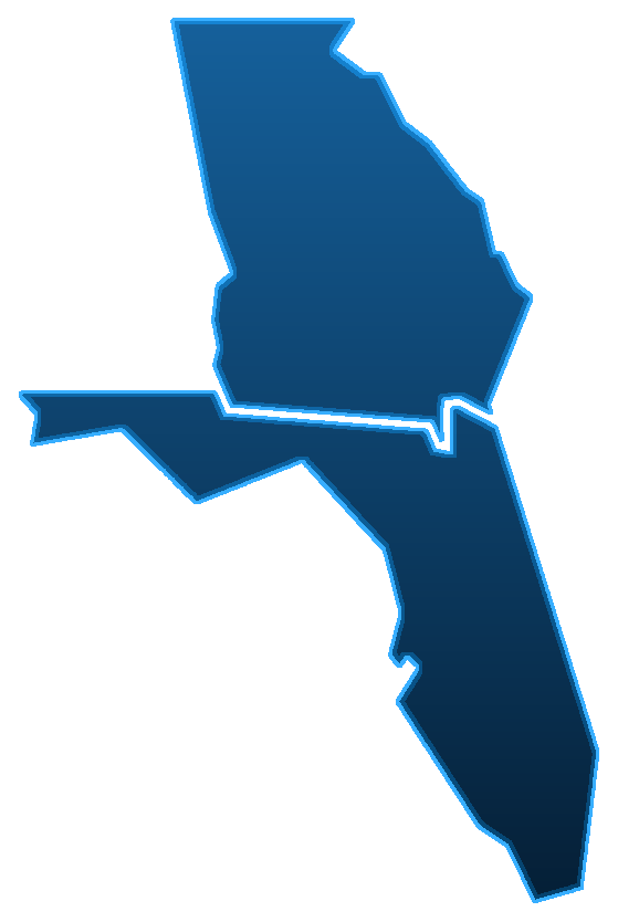
Monticello is home base, but our response does not stop at the state line. We serve North Florida and nearby South Georgia communities, with longer-distance response available depending on the mission, travel, airspace, and conditions.
ABOUT US
North Florida Thermal Search & Recovery is a veteran-owned family business built in Monticello, Florida, with deep ties to our community, aviation, animal care, and the outdoors.
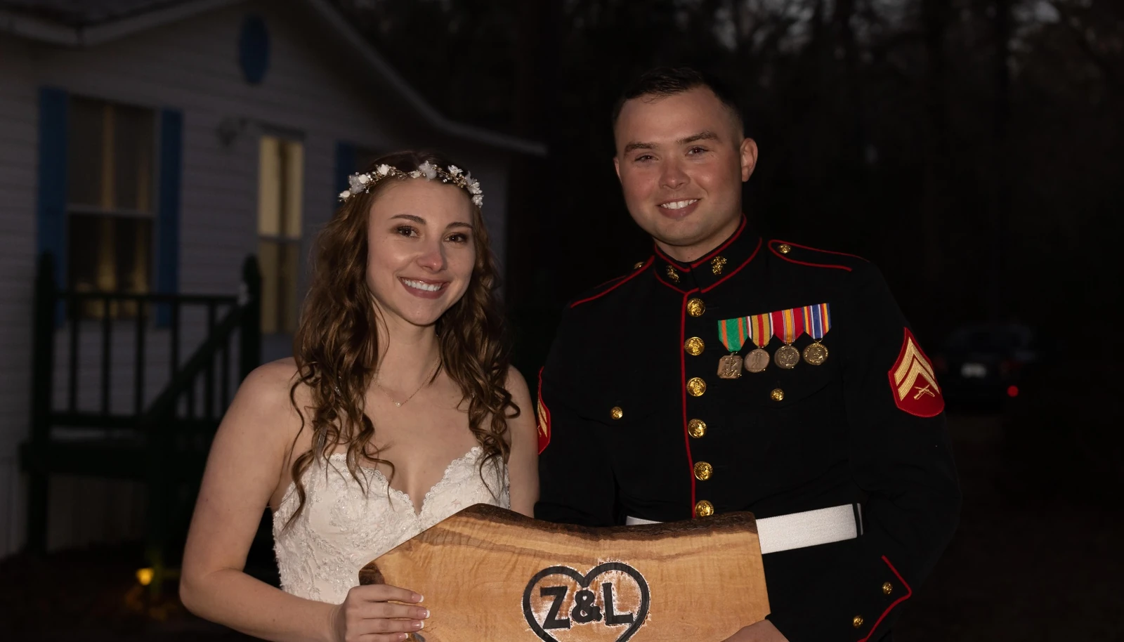
Born and raised in Monticello, Zackary brings six years of service in the United States Marine Corps and continues to serve in the Air Force Reserve. He studied Mechanical Engineering at Embry-Riddle Aeronautical University and works locally in the utility industry. His military background, aviation interest, and familiarity with North Florida terrain shape the mission-focused approach behind NFTSR.
Alexis brings 15 years of experience in animal services and is a Certified Zookeeper Assistant. Raised in a military family and having lived and traveled in many places, she now puts down roots in North Florida as a homesteader. Her animal-care experience and understanding of animal behavior are central to the heart of the business.
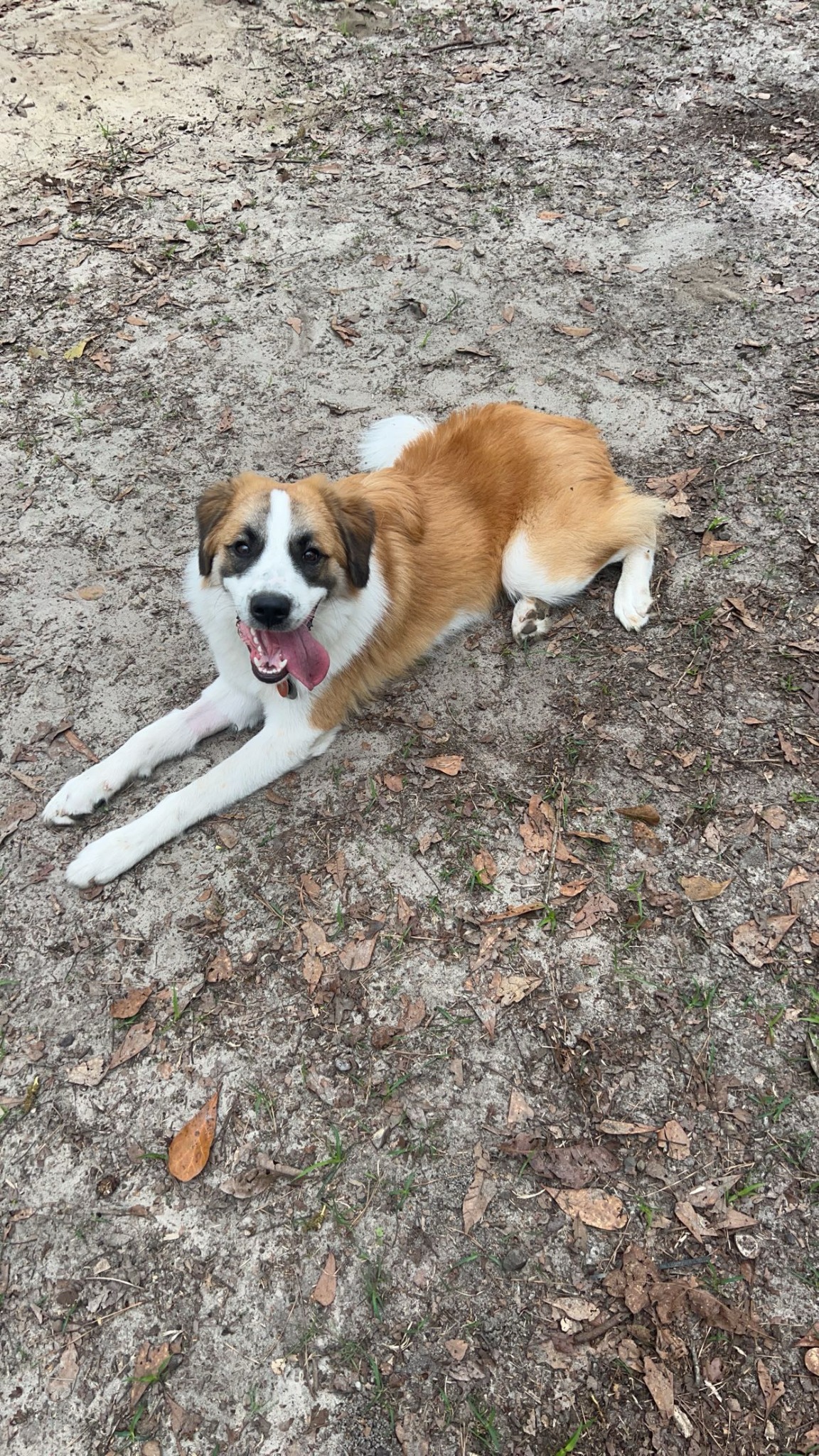 SHERMAN • THE INSPIRATION BEHIND THE MISSION
WHY WE STARTED
When our dog Sherman went missing, we learned firsthand what it feels like to search without knowing where to look or whether your pet is safe. That experience stayed with us.
We started North Florida Thermal Search & Recovery to give other families another tool when a beloved animal is missing: modern drone technology, thermal capability, local knowledge, and people who genuinely understand why the search matters.
Our goal is simple—to offer a reasonably priced, professional service that helps reunite animals with the people who love them.
Animals aren’t just part of our business. They’re part of our everyday life.
24/7/365 RESPONSE • READY WHEN YOU NEED US
If your animal is missing, contact us with the details you have. The sooner we understand the last known location and timeline, the faster we can plan the mission.
Include: recent photo • last known location • time last seen • sightings • direction of travel